
The Ipswich Sparrow, a subspecies of the Savannah Sparrow, was first identified on Crane Beach in 1868.

On the Massachusetts North Shore
The Ipswich Sparrow, a subspecies of the Savannah Sparrow, was first identified on Crane Beach in 1868.

In 2010, the Ipswich Board of Selectmen voted to begin exploring removal of the Ipswich Mills Dam. The feasibility study was completed in March, 2019 and will set the stage for the Town's decision regarding the dam.

Shorebirds congregate and drift in rafts along the estuarine front where the mixing of fresh and saltwater stirs up small fish, crustaceans, and other aquatic organisms.
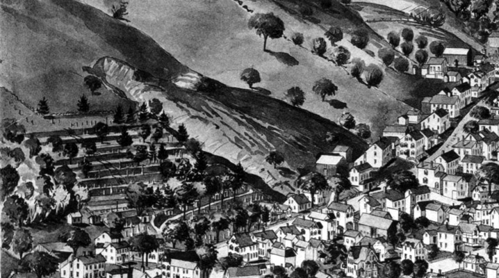
The 1893 Birdseye map shows a serious washout just to the east of the Old North Burying Ground, forming a deep gully. A late 19th Century photo taken by Arthur Wesley Dow shows rocks and soil pushed up against a barn and sheds that once stood below.

In 2019, Essex County Greenbelt worked with the Town of Ipswich and the Massachusetts Department of Fish and Game to create the Castle Neck River Reservation, the Pony Express soccer fields, and the Castle Neck River Wildlife Management Area.
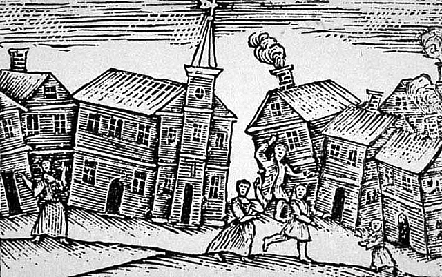
At between 6.0 and 6.3 on the Richter scale, the 1755 Cape Ann Earthquake remains the largest earthquake in the history of Massachusetts, and caused great alarm.
Deep in Willowdale State Forest is a bog which in the 1832 Ipswich map is the "Peat Meadows." "Turf" as it was also called, became a commonly-used fuel when local forests were depleted and until anthracite coal became widely available.

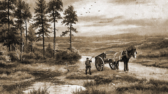
Salt marsh hay is still gathered on the North Shore today. The grass was stacked on staddles to raise it above the high tides, and was hauled away on sleds over the frozen marsh in mid-winter.
