
Photos of Market St. from the present day back to the early days of photography.

On the Massachusetts North Shore
Photos of Market St. from the present day back to the early days of photography.

The town voted in 1861 to build County Street and its stone arch bridge, connecting Cross and Mill Streets. A Woolen mill, saw mill, blacksmith shop and veneer mill operated near the bridge.
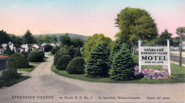
In the first half century of the automotive age, a weekend trip to the country for Boston folks often meant driving to Ipswich on the Newburyport Turnpike and renting a cabin not too far from the shore.

Lord's Square is not a square at all, and no one knows the right way to spell it. The bewildering intersection abuts the Old North Burying Ground and the largest collection of First Period houses in America.
The Ipswich Public Safety Facility Committee has reached an agreement with the Boston Catholic diocese to purchase four to five acres of church-owned land at the intersection of Pine Swamp and Linebrook roads that was originally a hay field across from the old Eben Lord farm.
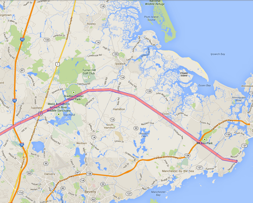
In1968, Mass DPW proposed an additional beltway around Boston that would have cut through the Ipswich River Sanctuary, Bradley Palmer State Park, Appleton Farms, the Pingree Reservation and Manchester-Essex Woods. Plans were eventually abandoned because of resistance from communities that would have been affected.

County Street is in the Ipswich Architectural Preservation District and has some of the oldest houses in town. The section between East and Summer Streets was originally called Cross St, and the section between the County Street Bridge and Poplar Street was known as Mill St. The roads were connected when the County Street Bridge was… Continue reading County Street
Until the second half of the 19th Century, much of the area bounded by Central Street, Washington Street, Mineral Street and Market Street was a wetland with an open sewer known as Farley Brook running through it.
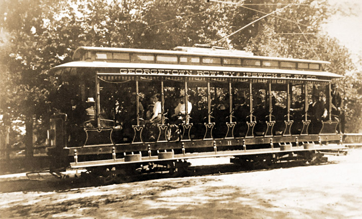
In 1896, the first trolley from Beverly arrived in Ipswich, and a year later, the Georgetown, Rowley and Ipswich Street Railway opened. By 1919, Mr. Ford's Model T ended the brief era of the street railway.
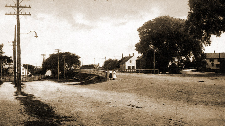
High Street originally continued straight until the first bridge over the railroad tracks was constructed in 1906. From 1900 when the first trolleys came to town until the bridge was built, passengers had to unload here to switch from the trolley from Newburyport to continue through Ipswich.

In 1803, a group of Newburyport investors incorporated as the Newburyport Turnpike Corporation in a commercial venture to build a straight toll road from Boston to Newburyport (the highway we call Rt. 1).

Twenty years after building the County Street Bridge, construction began for the Green Street Bridge. The original structure was made of wood but was later replaced by an arched bridge of stone on May 14, 1894. This was the fifth bridge built on the Ipswich River in the Town of Ipswich.

This remote area was originally known as Ipswich Farms. After the residents began pressing for their own church, the Massachusetts General Court on June 4, 1746, created the Linebrook Parish, the boundries of which were defined by 6 brooks and lines connecting them. The community had a church, store, school and its own militia.
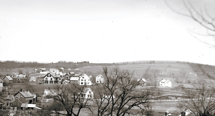
Maple Street first appears in the 1884 Ipswich map, without houses. Maple Street first appears in the 1884 Ipswich map, without houses. A white arrow in the photo above points to the house still standing at 6 Maple Street, with a horse in front. The photo was taken from Town Hill by Edward Darling, around 1890. In the foreground are houses still standing on High Street. On the far left of the photo is the old Lord Square fire station and the Payne School, bright white. Behind them you can see the train tracks. Several houses are seen behind it on Washington Street. The hillside behind was still primarily farmland. By 1910, the Ipswich map shows the street completely filled.

The triple stone arch Warner Bridge that connects Mill Rd. in Ipswich to Highland St. in Hamilton was constructed in 1829, and rebuilt in 1856. The isinglass mill sat on the downstream Ipswich side of the bridge.

The History of Little Neck by Richard C. Betts, with photos from the 19th through the 21st Centuries.
